Every port and vessel, on one map
Couldn't load video
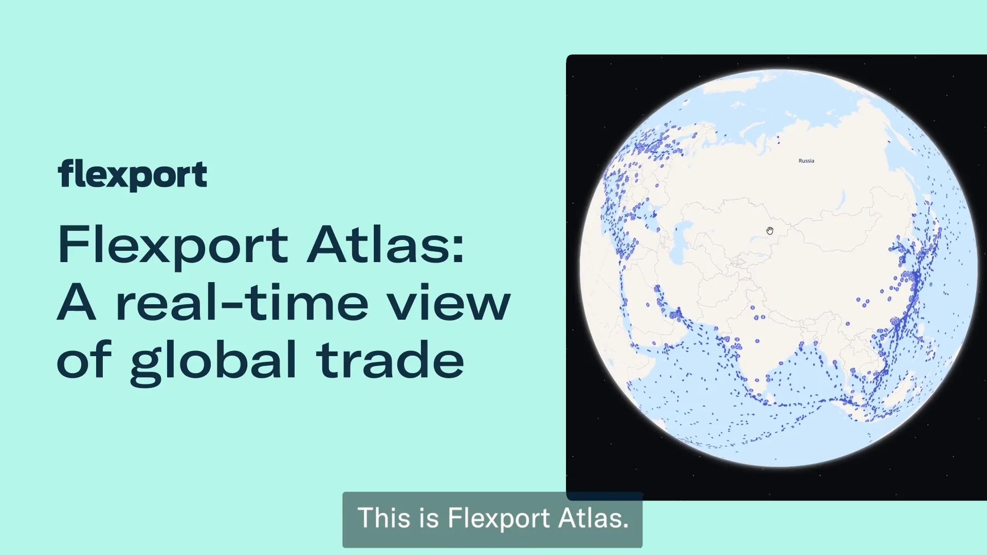
Atlas started as an ocean command center and grew from there. Port explore shows you every service calling a port, the next inbound vessel, and live congestion. Vessel explore follows a single ship's past and future stops, tracked by near real-time position data.
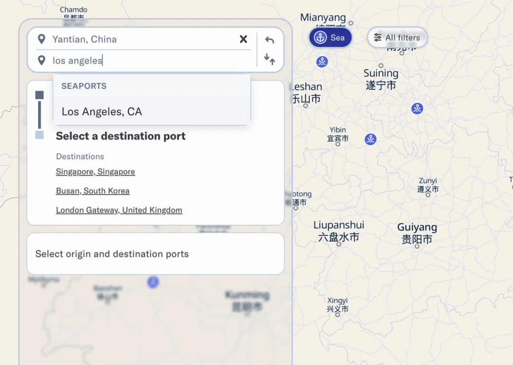
Type in two ports and Atlas visualizes the transit: which services run the lane, how long it takes, and whether Flexport can move it for you. Know a specific carrier service string instead? Search that directly and see its full route, stop by stop.
The scale Atlas already covers
3,578: Inland rail and barge lanes now searchable, 2,646 by rail and 932 by barge, live across North America, East Asia, and Europe.
135: Countries in Flexport's global network, the same footprint Atlas maps port by port.
Free: Cost to explore Atlas. The core map, route search, and disruption monitoring need no login at all.
See disruptions, emissions, and inland legs most maps miss
Search any port-to-port route
Look up any lane and see the carriers, transit times, and whether Flexport can move it, plus specific carrier service strings mapped stop by stop.
Follow inland rail and barge legs
3,578 inland lanes turn previously invisible connections, like Vung Tau to Chicago, into a route you can actually see.
Track disruptions as they happen
Atlas tags news and vessel status (in transit, possibly stalled, stalled) against active conflict zones, starting with the Strait of Hormuz, so you know which lanes are at risk before a shipment gets stuck.
Log in for more, or bring your own network
Couldn't load video
Logging in unlocks historical transit times, predicted arrival dates, and blank sailing history using the Flexport Platform.